your question
How Will Construction Affect Me?
Our Answer
This page is where you’ll find the most up-to-date information on construction, road closures and traffic delays.
Jump to:
- Construction on Lake Shore Boulevard East
- Bike Detour for the Lower Don Trail and Multi-Use Trail on Lake Shore Boulevard
- Subscribe to Email Construction Notices
- Managing Construction Impacts
Construction Notices
Work on the Port Lands Flood Protection and Lake Shore Boulevard East projects has impacts on Lake Shore Boulevard between Cherry Street and Carlaw Avenue, Cherry and Commissioners Streets, cycling facilities on Lake Shore Boulevard East and the Lower Don Trail. Below are up-to-date details on closures and detours.
Read FAQs about the Lake Shore Boulevard East Project.
See an overview of the Port Lands Flood Protection project.

Latest Documents
Construction Notices
Find the latest information about what to expect from ongoing construction. Download the latest construction notice below or view all notices in the Document Library.
Minimizing Construction Impacts
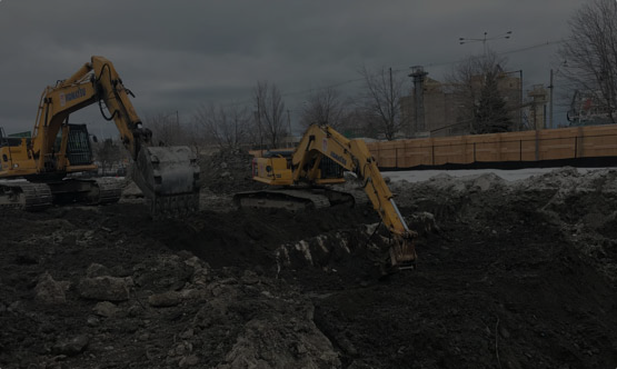
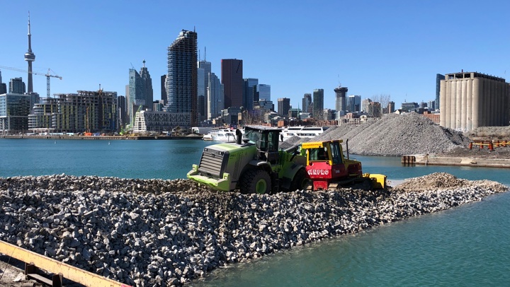
Port Lands Flood Protection is a seven-year construction project – and one of the largest infrastructure projects in Toronto’s history.
During the Don Mouth Naturalization and Port Lands Flood Protection Environmental Assessment, the project team identified potential impacts from this construction and developed a series of plans to manage these impacts. Following these Environmental Management Plans will allow us to minimize impacts to the environment during and after construction. These plans may be modified to reflect new information or challenges encountered on the construction site.
We recognize the challenges and inconveniences construction presents to local communities. While some construction projects cannot be changed or delayed, we minimize impacts as best we can.
See recent or upcoming public meetings about construction.
Here are some of the ways we’re reducing construction impacts for the Lake Shore Boulevard East project:
• Coordinating with the City of Toronto and outside agencies such as Metrolinx and Toronto Hydro to identify their construction needs and avoid overlapping road closures
• Changes to lane configuration and traffic signal timing to keep traffic moving
• Reconstruction at certain intersections and ramps to the Gardiner Expressway to improve the flow of traffic during construction
Do you have a concern, complaint or question about construction? Contact us.
Construction Schedule
Construction on the Port Lands Flood Protection project started in 2017 and will be done in 2026. We’ll continue to adjust our construction sequencing and timing to account for factors like nearby construction and coordination with our partners.
Construction on the Lake Shore Boulevard East project started August 31, 2021. Construction will be complete in 2026.
Article
Protecting the Environment
How we will undo the negative effects of industrial activities while protecting the lake and river.
Read more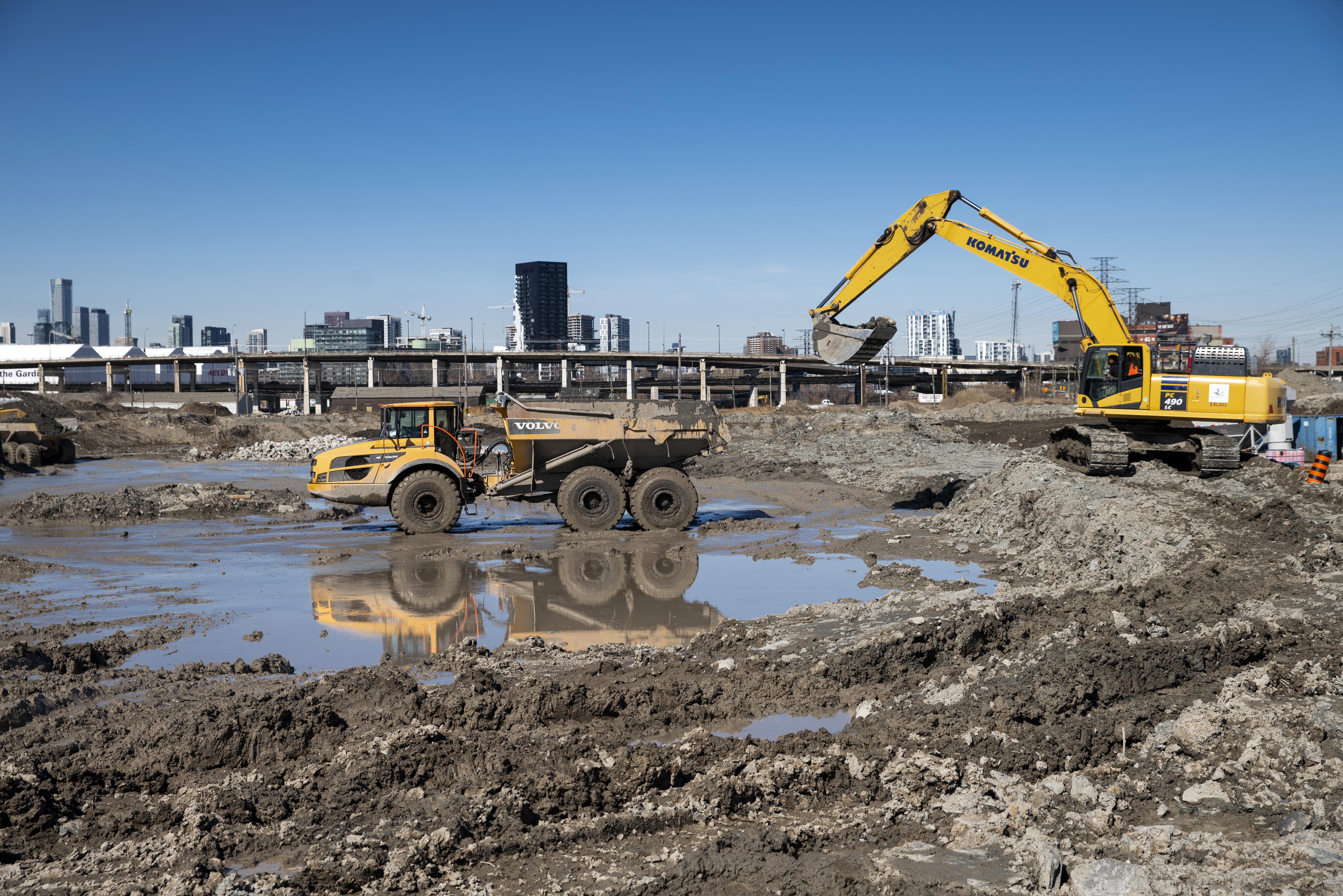
Article
Soil Management and Treatment
How we'll clean the soil that is excavated in the Port Lands.
Read more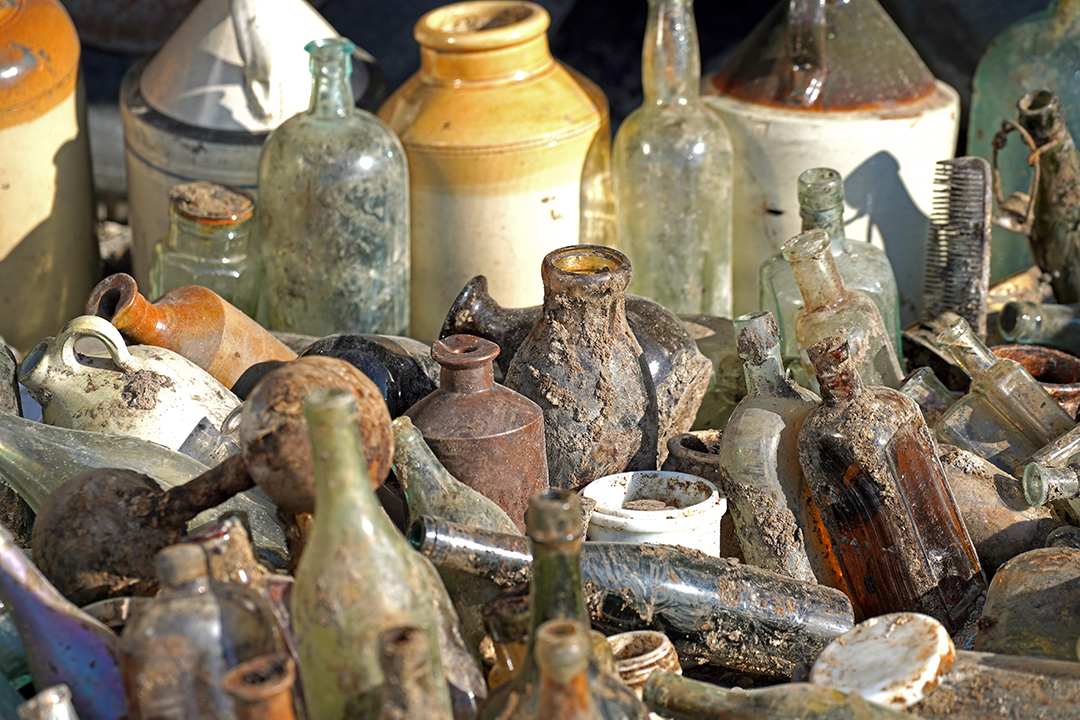
Article
Found Objects in the Port Lands
We’re excavating 1.4 million cubic metres of soil. In the process, we’re uncovering some remnants of the area’s past.
read more