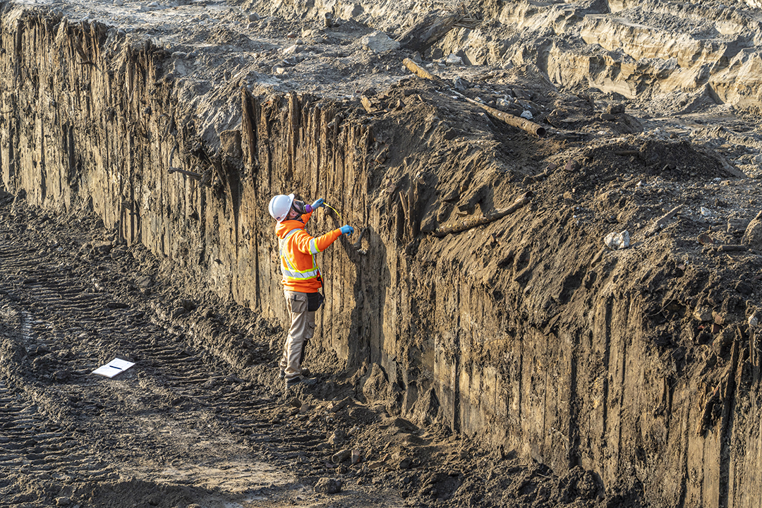
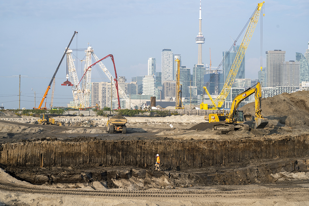
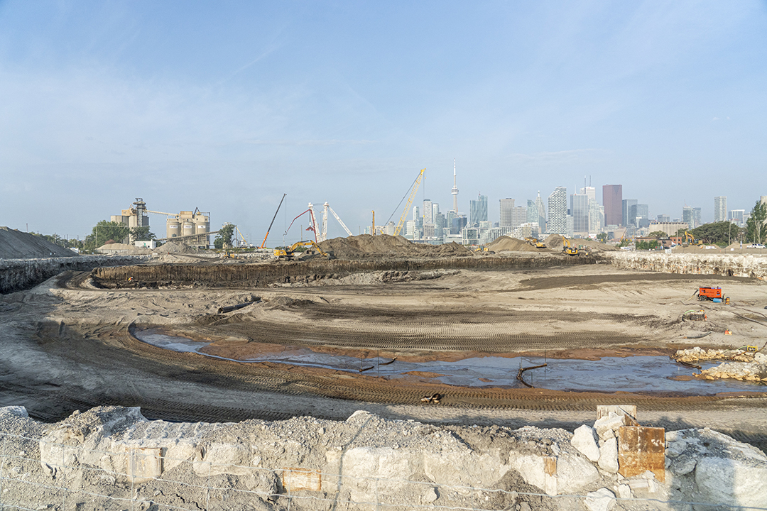
Excavating a Late 1800s Breakwater
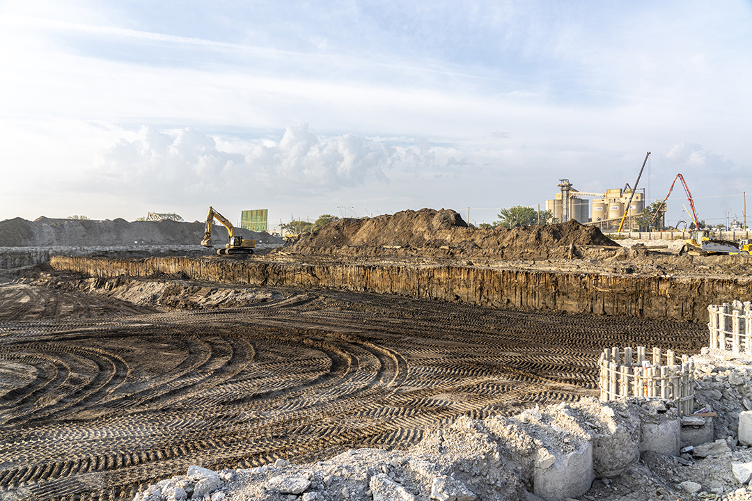
To restore a more natural mouth for the Don, we’re excavating 1.4 million cubic metres of soil. In the process, we’re uncovering some remnants of the area’s past. In September of 2020, we found remains of a breakwater that connected what was once Fisherman’s Island to the mainland. Learn more about Fisherman’s Island.
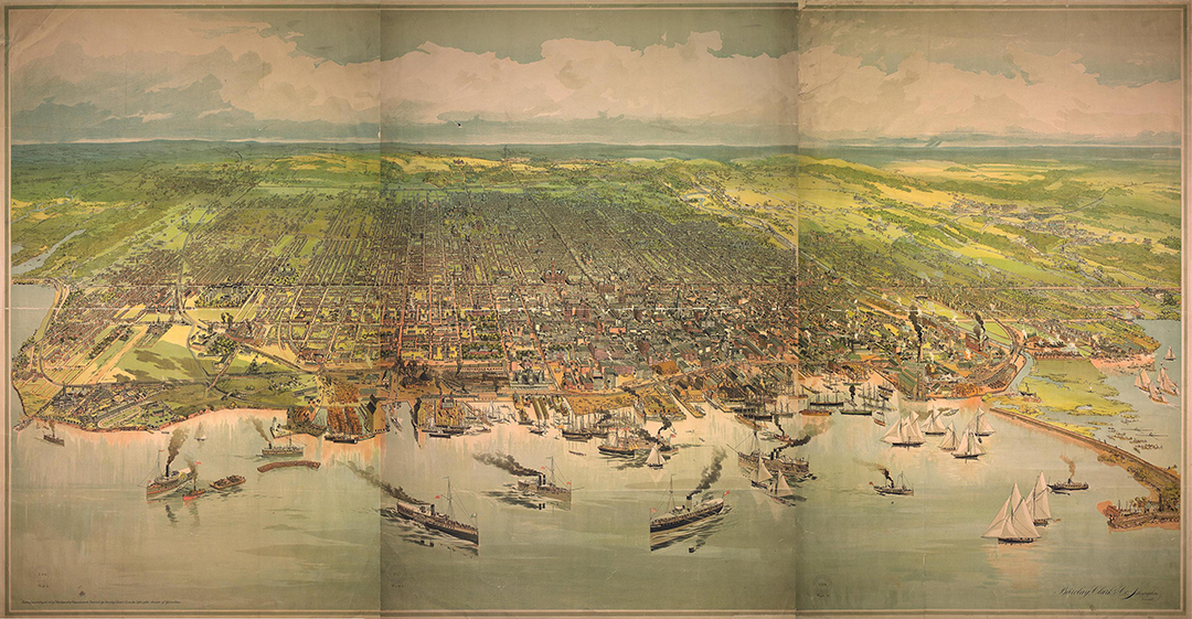
The breakwater served several purposes: protecting the area from stormwaters, rough waves and erosion, and creating a community space for people to swim, play or picnic. The breakwater originally ran from the north edge of the Keating Channel to a sandbar that is now modern Cherry Beach, which effectively blocked Ashbridge’s Bay Marsh from the Inner Harbour. The section that we uncovered was approximately 140 metres long.

As the Toronto Harbour Commission continued its lakefilling campaign to expand the Port Lands, the breakwater was covered with lake sediments and other fill.
We knew the breakwater would be uncovered as we excavated to create a new river valley in the Port Lands. Skilled excavators spent two weeks unearthing the wall so it could be carefully reviewed, documented and photographed by a licensed archaeologist.
Click on these images to enlarge them:


Learn more about objects we’ve uncovered in the Port Lands.
You can also read more about the Port Lands’ industrial history.